Drone Site Surveys
Sherrington Lifting provide a unique blend of aerial mapping and land planning expertise to produce detailed site assessment, terrain modelling and hydrology assessment. We also provide roof inspections, aerial photography and filming services in Liverpool, Manchester and the North West.
Drone Site Surveys in Liverpool and Across the UK
Modern projects demand accurate data, fast turnaround times, and safe working practices. At Sherrington Lifting Services, our drone site surveys provide a cutting-edge solution for capturing detailed aerial data quickly and efficiently. Operating across Liverpool, Manchester, and throughout the UK, we help construction, infrastructure, and industrial projects gain a clear, accurate understanding of their sites from the very start.
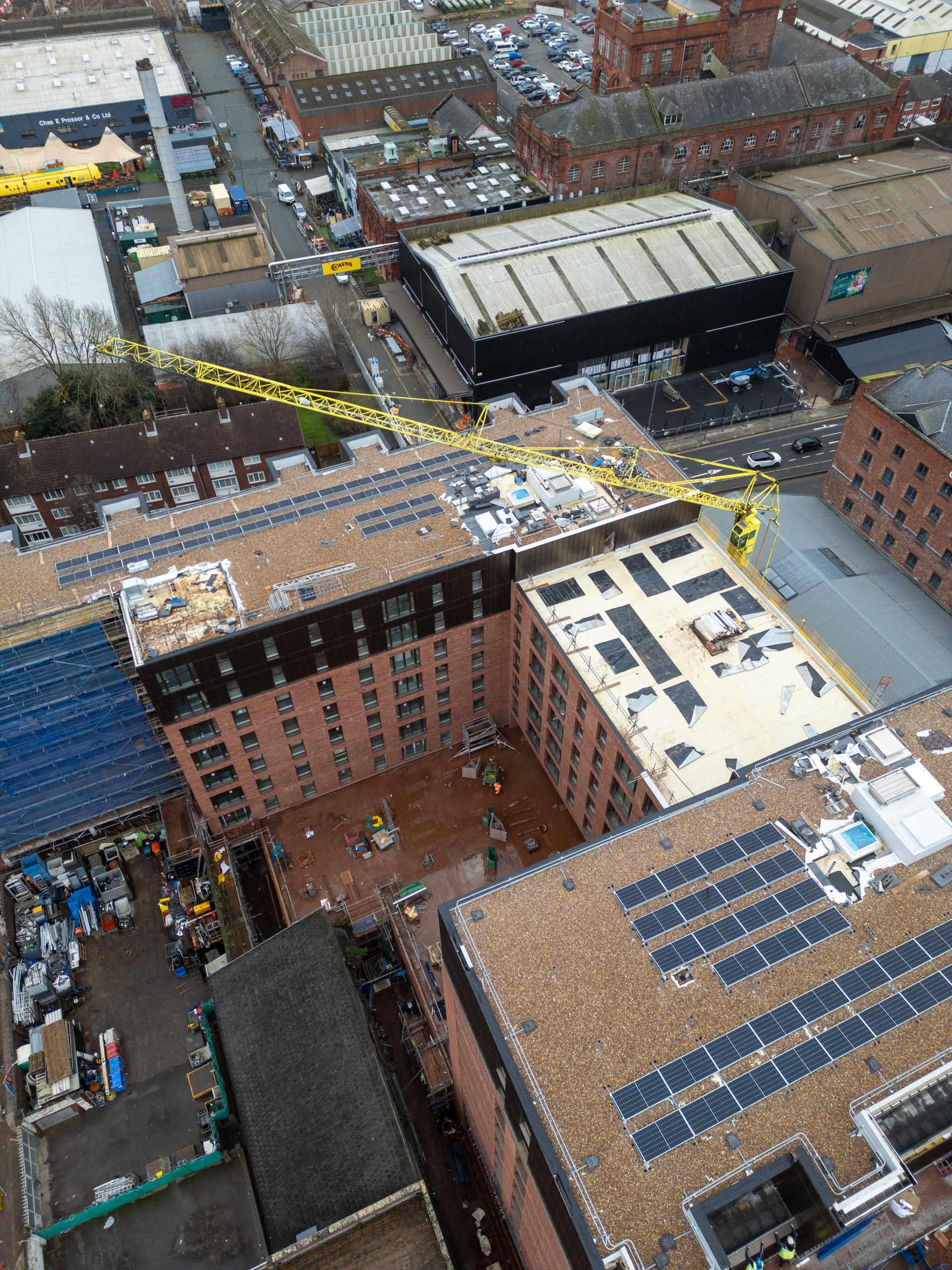
A drone site survey uses advanced unmanned aerial vehicles (UAVs) equipped with high-resolution cameras and sensors to capture detailed images, video, and geospatial data from above. This technology allows large or complex areas to be surveyed in a fraction of the time compared to traditional methods, while delivering highly accurate results.
At Sherrington Lifting, we use drone technology to support better planning, safer operations, and more informed decision-making. Our surveys provide valuable outputs such as aerial imagery, topographical maps, and 3D models, giving you a complete view of your site. These insights allow you to identify potential challenges early, streamline project planning, and avoid costly delays later in the process.
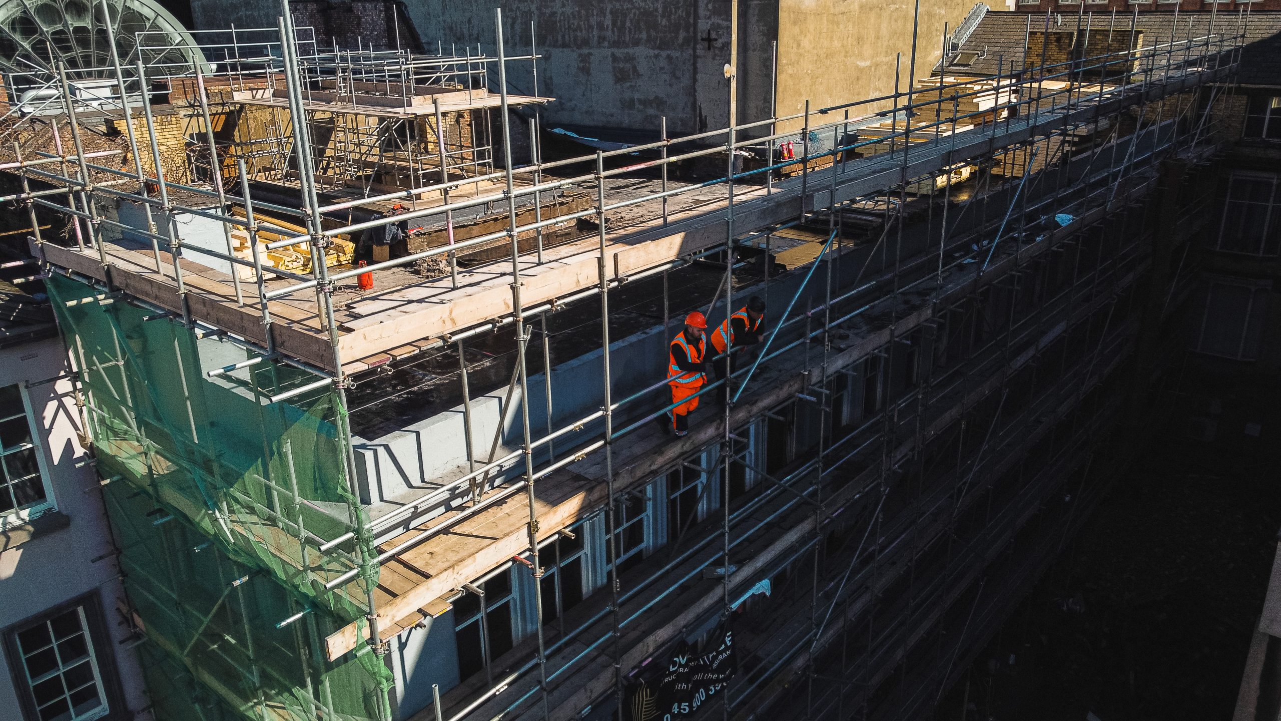
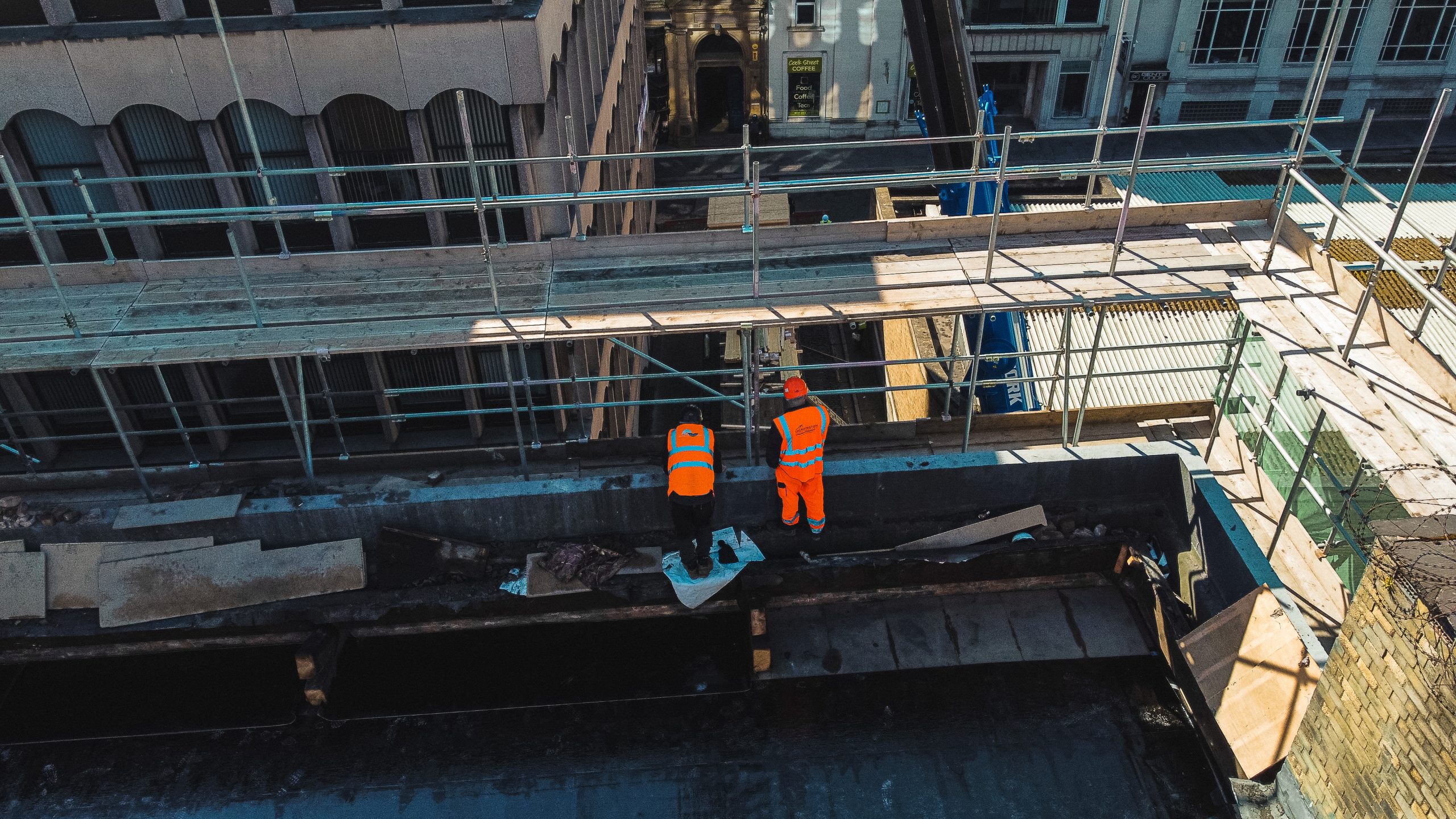
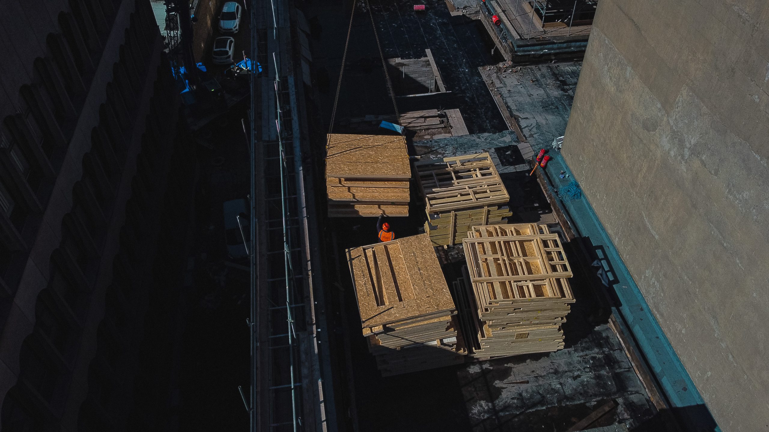
One of the key advantages of drone surveys is safety. Traditional surveying methods often require working at height, accessing difficult terrain, or placing personnel in potentially hazardous environments. With drone technology, we can capture all the necessary data remotely, significantly reducing risk while maintaining exceptional accuracy.
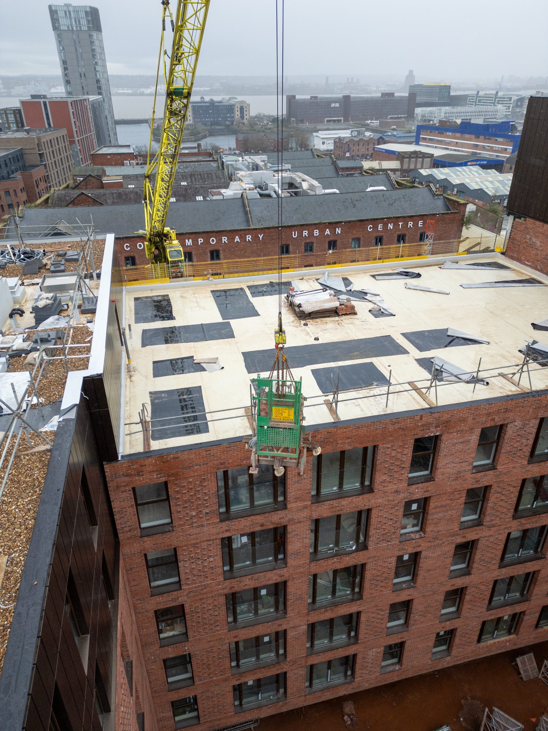
Efficiency is another major benefit. Drone surveys can collect large volumes of data in a short period of time, helping to keep projects on schedule and within budget. This makes them ideal for construction site monitoring, land assessments, progress tracking, and pre-project planning. By providing fast, reliable insights, drone surveys enable better communication, quicker decision-making, and improved overall project performance.
At Sherrington Lifting Services, we offer a fully managed drone surveying service, tailored to your project requirements. From initial consultation through to data capture and delivery, we ensure a smooth and professional process. Our experienced team works in line with UK regulations and best practices, ensuring safe, compliant operations at all times.
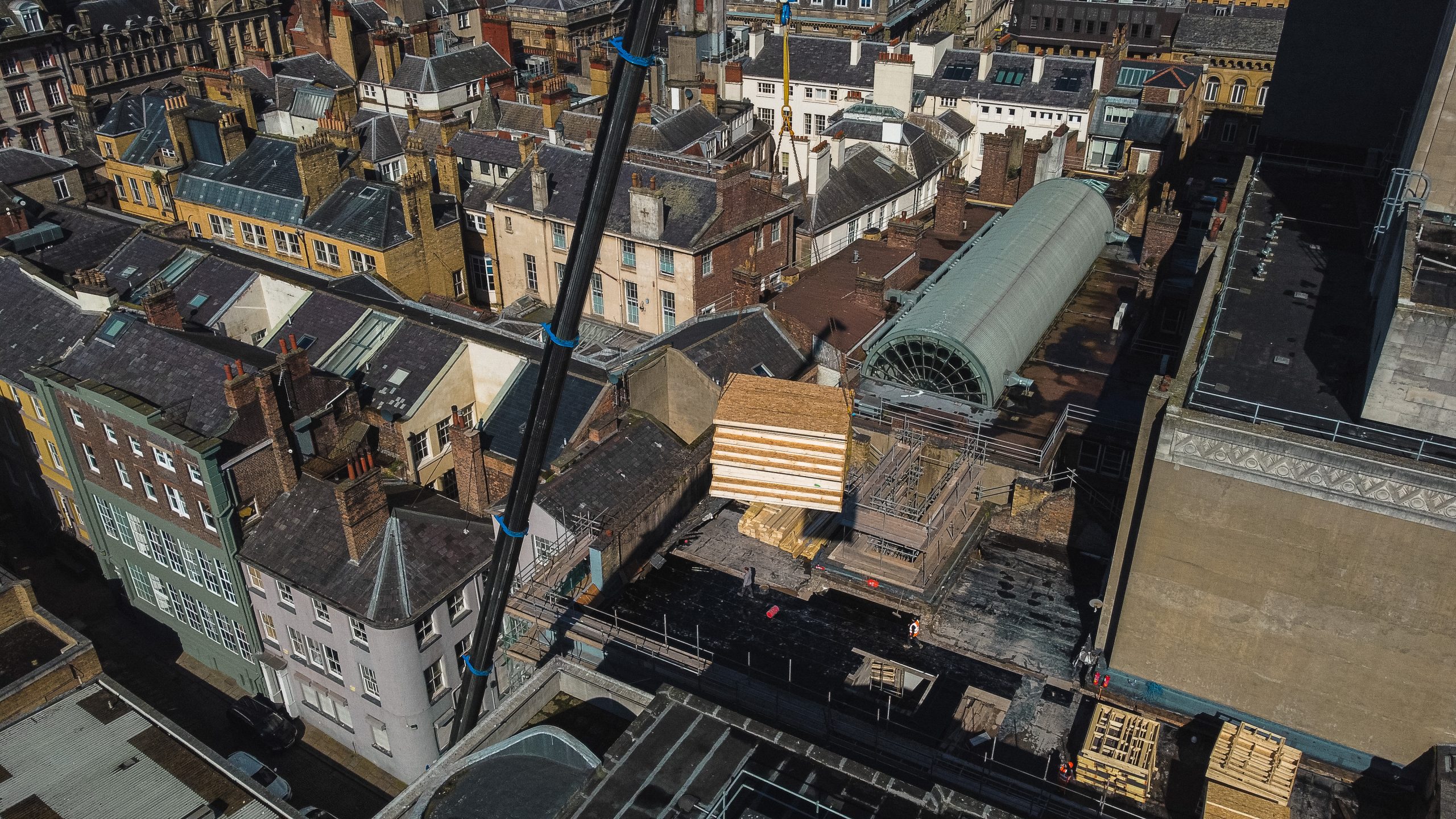
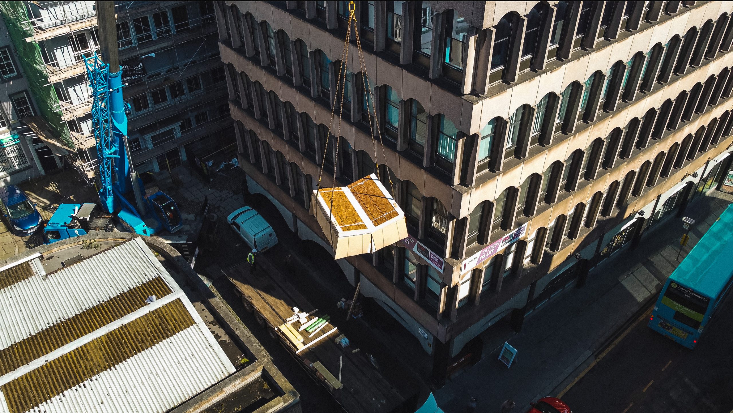
Our drone site surveys are ideal for a wide range of applications, including construction planning, infrastructure inspections, land development, and industrial projects. Whether you need detailed site data before work begins or ongoing aerial monitoring throughout your project, we provide reliable, high-quality results you can trust.
At Sherrington Lifting, we combine innovation with expertise to deliver smarter surveying solutions. Contact us today to discuss your project and discover how our drone site survey services in the UK can help you save time, reduce risk, and make better-informed decisions from the ground up.
Previous Work
Take a look at some of the work we have carried out. Sherrington Lifts provide Crane Hire and related services in Liverpool, Manchester, and the North West.

Related Case Studies